
China and Central Asian countries to build a joint satellite constellation for disaster monitoring
Wire desk byline Sourced from Xinhua, Dawn, Arab News, Anadolu and Minute Mirror. Translated and abridged by the GSRRA Desk.

China and several Central Asian countries are planning to develop a satellite constellation to share remote-sensing data and tackle common threats, such as earthquakes, agricultural pests, and glacial floods.
The tech cooperation agreement was signed on Thursday at the ongoing 9th China-Eurasia Expo held in Urumqi, capital of northwest China’s Xinjiang Uygur Autonomous Region. Called “Tianwu Constellation,” the space-based monitoring network will comprise an initial system of five satellites, according to scientists involved in the project.
Tong Qingxi, a remote-sensing specialist with the Chinese Academy of Sciences, said that China’s Xinjiang, bordering several Central Asian countries, has similar geographic conditions and common geological threats to its neighbors, such as earthquakes, landslides, and floods caused by glacial melt. The joint constellation is designed to address shared disaster-prevention needs.
“It is a practical application of the Belt and Road cooperation and a shared effort to build a community with a shared future for humanity,” Tong said.
The project is more than a satellite deployment; it is an air-space-ground integrated system that operates through intelligent coordination. Scientists said satellite data collected over the region will be processed by a computing center in Xinjiang, where artificial intelligence (AI) models will be developed for geological disaster prediction, agricultural pest detection, and glacial melt monitoring.
Chen Xi, an academician of the International Eurasian Academy of Sciences who has long studied glacial geology, noted that Xinjiang and neighboring Central Asian countries are linked by the same mountain ranges, and glaciers there have melted by 20 to 40 percent in recent years.
Regular and precise satellite monitoring of glacier changes will support water resource allocation and water supply security for the region, Chen said.
Scientists from Kazakhstan, Uzbekistan, and Tajikistan attended the signing ceremony. They expressed confidence that the joint project would bring mutual benefits.
Akobir Mirzorakhimzoda, vice president of the National Academy of Sciences of Tajikistan, said that mastering advanced technologies such as satellite networking and AI enables real-time monitoring and analysis of environmental indicators, providing a reliable basis for informed decision-making.
“Such an initiative is a significant step toward scientific advancement, broader international cooperation, and stronger ties among nations,” he told Xinhua.
Reference Link:- https://english.news.cn/20260627/56a277e2f385435d9131ce6286ef9e30/c.html
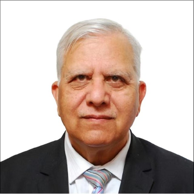
Zamir Ahmed Awan is the founder and Chair of the Global Silk Route Research Alliance, a think tank in Islamabad. He studied engineering at Shanghai University in the 1980s, and years later he went back to China as Pakistan's science counsellor in Beijing, from 2010 until 2016, working on science and higher education cooperation between the two countries.…